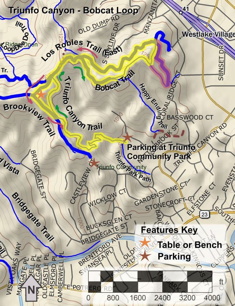
It’s New Map Monday: Los Robles East – Triunfo Bobcat Loop
Highlights
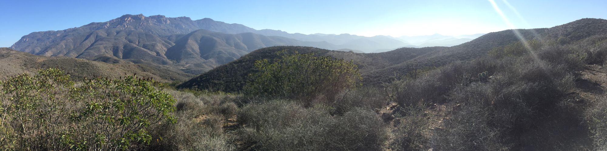
- Great view over Westlake Village, especially in the autumn when the trees are changing color
- A mix of trail types – singletrack trails and dirt roads
Description
This is moderate hike of about 4.25 miles with about 1000’ of climbing in total. The route starts in Triunfo Community Park, climbing the singletrack Triunfo Canyon Trail to the Los Robles Trail (East). It loops around the Bobcat Trail, returning on the Los Robles Trail (East), then taking a slightly different route along the top half of the Brookview Trail. There’s a bench on a rise at the top of the Brookview Trail (at the top of the stairs) where you have a view all around.
As a modified figure-8 loop, each of the two loops can be done in either direction, but going out on the Bobcat Trail is recommended so you’ll be facing Westlake Village on the way down. This will give you the best view. On the map below, follow the green arrows on the way out and the red arrows to return. The Bobcat Trail forks at the east end. The south fork is steeper and looser. Taking that route, highlighted in red on the map, will add 0.3 miles to the distance.
Key Statistics
Popularity: The Triunfo Canyon Trail has a lot of foot and bike traffic. The Bobcat Trail has less.
Parking: Free at Triunfo Community Park.
Distance: 4.25 miles; 4.6 miles with the longer option (red highlight on the map)
Cumulative Climbing and Descent: Roughly 1000’; 140’ more with the red option.
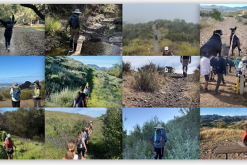
For all the details including an elevation profile and photos, download the printable full PDF guide.
For complete details on this trail guide and other new ones, go to https://cosf.org/trails/trail-guides/
0 Comments