Lang Ranch, Woodridge and Oakbrook Regional Park
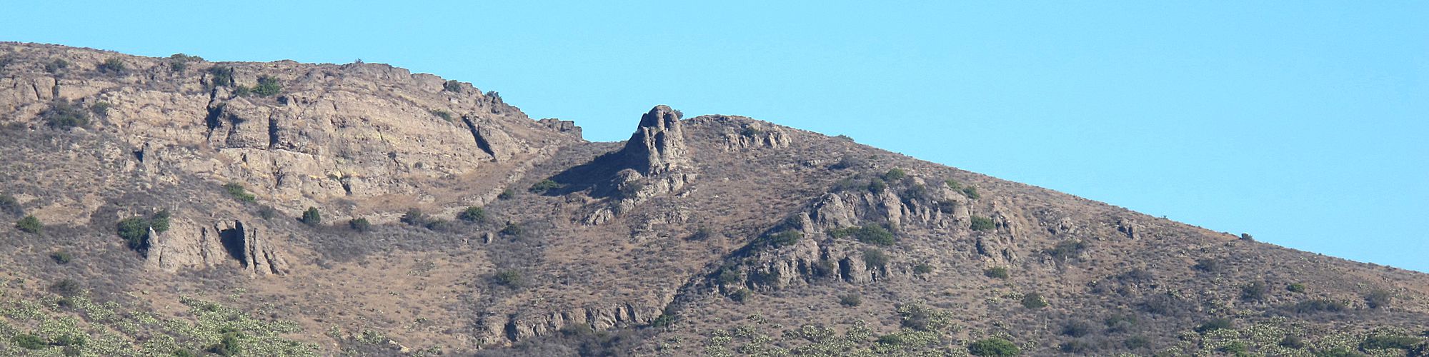
| Welcome to the Lang Ranch/Woodridge Open Space Trail system, including Oakbrook Regional Park. This picturesque area is located in the northeast portion of Thousand Oaks, encompasses 1,025 acres, and abuts an additional 8,000 acres of open space. This scenic region is part of the Santa Monica Mountains National Recreation Area and is filled with the natural beauty of lush overgrown meadows. creeks, large oak groves, and native vegetation. Many species of wildlife inhabit the park as well. |
| Approximately 10 miles of trails provide for public access and afford panoramic views of the Simi Hills and Santa Susana Mountains. These trails connect to the Simi Valley Open Space system and to the Palo Comado and Cheeseboro units of the Santa Monica Mountains National Recreation Area that are managed by the National Park Service. The Lang Ranch/Woodridge Open Space area is managed by the Conejo Open Space Conservation Agency (COSCA), a joint powers authority created by the City of Thousand Oaks and the Conejo Recreation and Park District in 1977.
|
Easy Hikes
Moderate Hikes
Strenuous Hikes |
