Dos Vientos and Rancho Potrero Open Spaces
| With wonderful views and some great scenery, the Dos Vientos and Rancho Conejo Open Space trail system is an ideal place to get out and enjoy the outdoors. The Dos Vientos open space consisting of 1,216 acres and 41 miles of shared use trails (hiking, cycling, equestrian) was originally part of the Rancho Guadalasca Spanish Land Grant of 1836. |
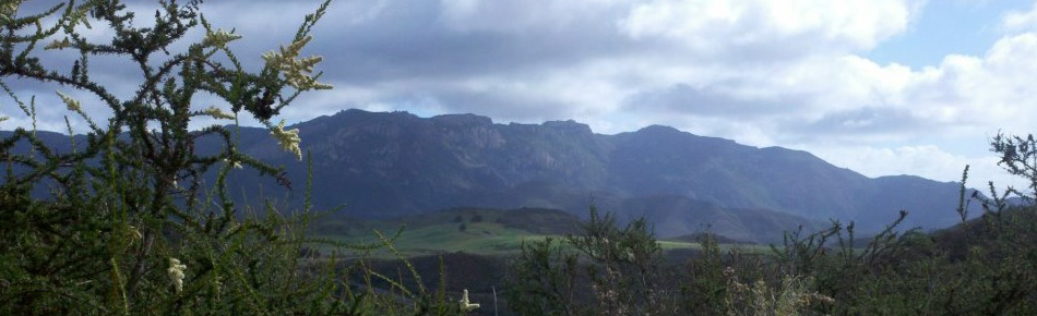
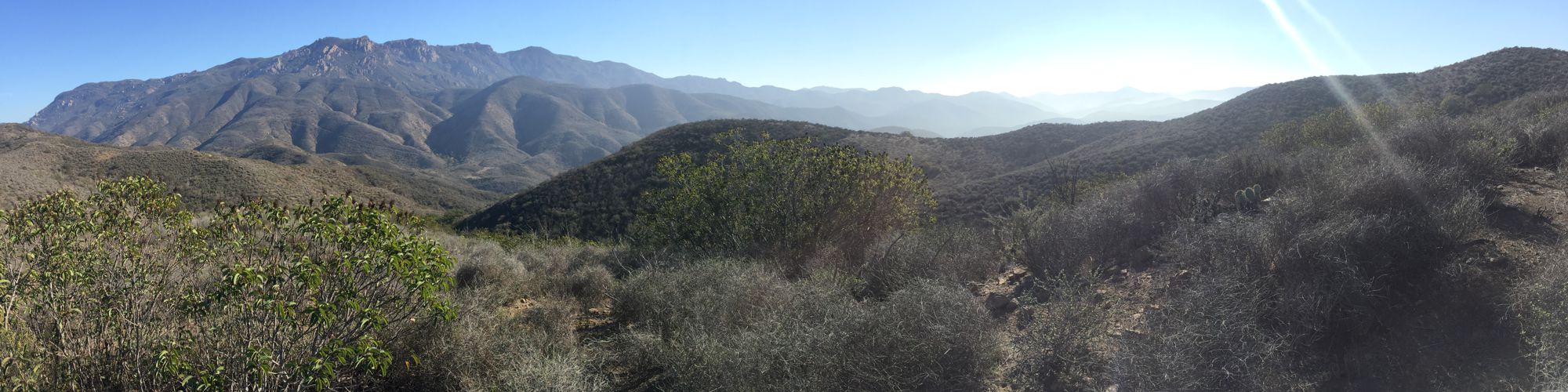
| Dominated by chaparral and coastal sage scrub habitats, this area provides a home for a wide variety of wildlife as well as rare and endangered plants including Conejo Buckwheat, Verity’s dudleya, and Conejo dudleya. Mountain lions are known (although uncommon) inhabitants, as are coyote, mule deer, and bob cat. Dos Vientos is also considered an important wildlife movement corridor into the Santa Monica Mountains National Recreation Area through Point Mugu State Park to the south.
The trail system provides internal and regional trail connections, as well as views of the Rancho Potrero Open Space (COSCA; included in the downloadable PDF map above), Rancho Sierra Vista (National Park Service) and Point Mugu State Park (including the Boney Wilderness), encompassing over 16,000 acres of open space. Contiguous open space areas to the east include the Alta Vista Open Space, Potrero Ridge Open Space, and Los Vientos Open Space, as well as the western terminus of the Los Robles Trail, and 11-mile trail that traverses the Los Robles Open Space and connects to Westlake Village to the east. The adjoining open space areas are managed by the Conejo Open Space Conservation Agency (COSCA), a joint powers authority created by the City of Thousand Oaks and the Conejo Recreation and Park District in 1977. |
Easy Hikes and Rides
Moderate Hikes and Rides
Strenuous Hikes and Rides |