It’s New Map Monday in Wildwood Park: Lizard Rock, Paradise Falls and Two Springs Loop
Highlights
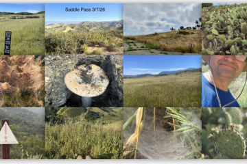
- View of Wildwood Mesa, Elliott Mountain, Hawk Canyon and the Western Plateau from Lizard Rock
- Rugged volcanic rock on Stagecoach Bluff. The trail is a real challenge for mountain bikers; many use the much easier Mesa Trail instead
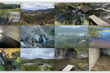
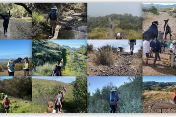
- Everybody loves to visit Paradise Falls
Description
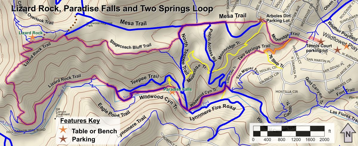
This is a moderate 4.8 mile round trip route, with a total elevation gain/loss of about 800 ft. Travel the route shown below in a counterclockwise direction. Start by crossing Avenida De Los Arboles using the tunnel underneath to access Moonridge Trail. Then to Lizard Rock by way of Mesa Trail and Stagecoach Bluff Trail, then down (past the water treatment plant) to the stream. Not far upstream is the waterfall. Steps lead down to the pool beneath Paradise Falls, and to a picnic table in the shade of an oak tree. Continuing upstream, there is the tranquil picnic area at Little Falls – another great place to take a break. Return by way of Two Springs Trail (formerly Indian Creek Trail).
Key Statistics
Distance: 4.8 mile loop
Cumulative Climbing and Descent: 800’. The steepest climb is to the apex of the Lizard Rock Trail. From there, you descend almost 600’ to the canyon floor.
Popularity: Most of these trails in Wildwood are very popular, especially around Paradise Falls. The rugged Stagecoach Bluff Trail is less popular.
Parking: Free at the tennis courts in Wildflower Neighborhood Park.
For all the details including an elevation profile and photos, download the printable full PDF guide.
For complete details on this trail guide and other new ones, go to https://cosf.org/trails/trail-guides/
0 Comments