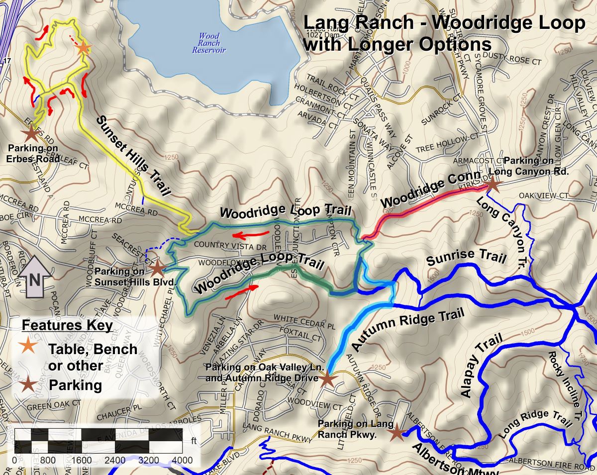
It’s New Map Monday in Lang Ranch: Woodridge Loop with Longer Options
Highlights
- Four possible routes of varying difficulty:
- 2.8 miles with 550′ of climbing for the Woodbridge Loop alone
- 4.1 miles with 750′ of climbing, starting in Wood Ranch
- 4.4 miles with 750′ of climbing, starting on Westlake Blvd.
- 6.7 miles with 1300′ of climbing, starting on Erbes Rd.
- The Woodridge Loop is a short easy hike that circumnavigates the gated community of Sunset Hills
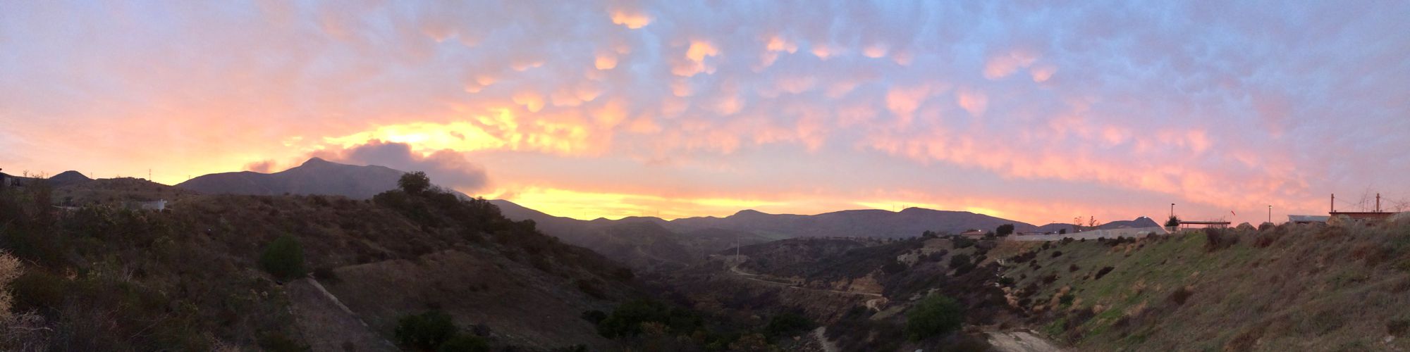
- The Sunset Hills Trail has diverse terrain and a great overlook of the Bard (Wood Ranch) Reservoir
- You can start in the Simi Valley neighborhood of Wood Ranch using the Woodrige Connector Trailhead. This trail goes by some interesting sandstone formations.
- Many people will find that the most convenient access is via the Autumn Ridge Trail at the north end of Westlake Blvd.
- The Woodridge Loop is included in the 2024 Conejo Open Space Challenge, shown in green on the map below
Description
The Woodridge Loop is a fairly easy trail that encircles the gated community of Sunset Hills. It connects to a number of other trails in Lang Ranch, making it easy to extend a hike or ride by quite some distance, as well as giving plenty of choices of where to park and start. Most of the loop trail is dirt singletrack, but there is a section on a paved utility road and another short section on a dirt fireroad.
The section of the loop just north of Sunset Hills Blvd. at the west end is slightly steeper and more rugged than the rest. Because of this, the recommended direction to navigate the loop is counterclockwise, unless you prefer to climb up this section.
If you start on Erbes Rd. and take the Sunset Hills Trail, on the way out take the loop at the west end of the trail, and on the way back take the shortcut down the hill to cut out the loop. See the red arrows on the map to indicate the directions.
An even longer route of 8.3 miles than those indicated on the map below, with about 1750’ of climbing, can be had by starting on Albertson Mtwy at the east end of Lang Ranch Parkway and following the Alapay and Sunrise Trails to the loop.
Key Statistics
Distance & Cumulative Climbing and Descent: This document covers 4 route
- Woodridge Loop alone: 2.8 miles with 550’ of climbing and descent
- Woodridge Loop via Connector: 4.1 miles with 750’ of climbing and descent
- Woodridge Loop via Autumn Ridge Trail: 4.4 miles with 750’ of climbing and descent
- Woodridge Loop via Sunset Hills Trail: 6.7 miles with 1300’ of climbing and descent
Popularity: These trails are all quite popular so you can expect to see other folks on them.
Parking: Free at all trailheads, or nearby in the case of the Autumn Ridge Trail.
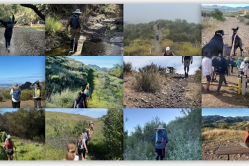
For all the details including an elevation profile and photos, download the printable full PDF guide.
For complete details on this trail guide and other new ones, go to https://cosf.org/trails/trail-guides/
0 Comments