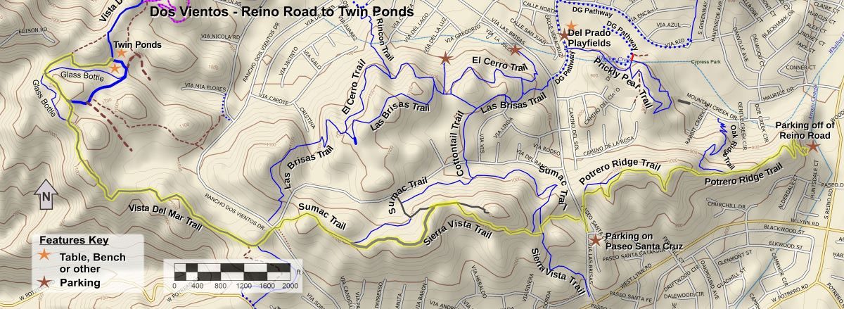
It’s New Map Monday: Reino Road to Twin Ponds in Dos Vientos
Highlights
- This route is 8.0 miles long with about 1300′ of elevation gain.
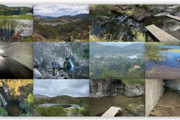
- There will be waterfowl in the Twin Ponds if there was a enough rain during the preceding winter to keep the ponds from drying up.
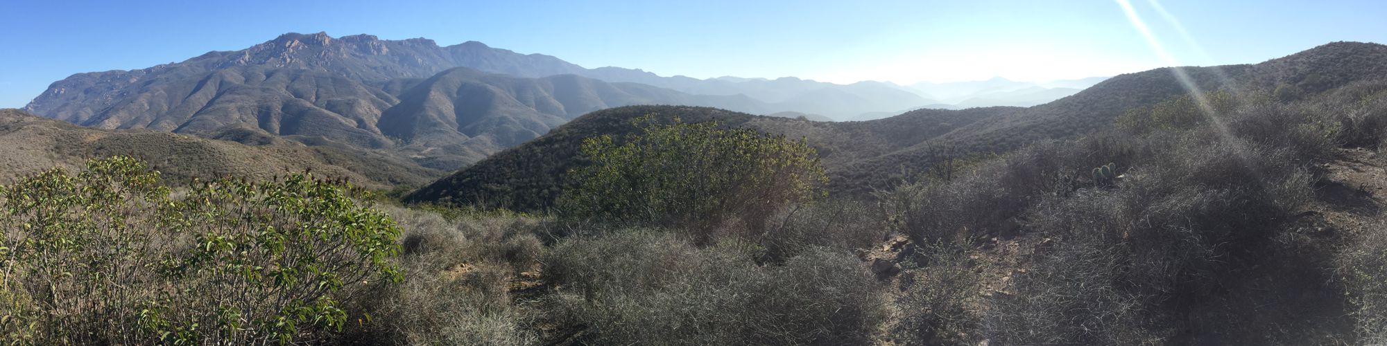
- The view is constantly changing on these hilly trails, overlooking Dos Vientos for much of the way, but also overlooking Long Grade Canyon and Camarillo. Boney Mountain is visible in the distance to the south and Conejo Mountain to the north.
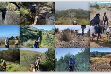
Description
The is an out-and-back route of 8.0 miles with 1300′ of climbing. Much of the route is on or close to a ridgeline, so there are generally good views to both sides. Being hilly, you’ll get a good workout. The Twin Ponds are always a treat with lots of typical slough vegetation and waterfowl if there’s water in the pond, and there generally is. The Twin Ponds is a good place to stop for lunch, or at least a snack, on this hike or ride.
Key Statistics
Distance: 8.0 Miles round trip
Cumulative Climbing and Descent: Aproximately 1300′.
Parking: Free at the gravel parking lot off of Reino Road.
For all the details including an elevation profile and photos, download the printable full PDF guide.
For complete details on this trail guide and other new ones, go to https://cosf.org/trails/trail-guides/
0 Comments