Lang Ranch & Woodridge Strenuous Hike – Lang Ranch to Simi Peak
Lang Ranch & Woodridge Strenuous Hike – Lang Ranch to Simi Peak
Strenuous eight and a half mile round trip, with a total elevation gain/loss of about 1700 ft. A combination of fire/utility roads and well maintained trails. From Simi Peak (the highest point in the area), on a clear day, you can see the Simi Valley, Conejo Valley, San Fernando Valley, Oxnard Plains, Pacific Ocean, and a few of the Channel Islands.
How to get there: From Avenida de los Arboles, take Westlake Bl. south to Lang Ranch Parkway. Turn left and go 0.8 mi. The trailhead is on right, just before Lang Ranch Parkway makes a sharp left turn.
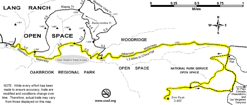
Map of This Hike
Detailed Hike Description & Photos:
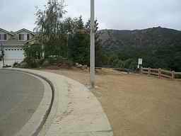 |
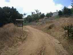
The trailhead is marked by a “Conejo Open Space” sign. Starting down the trail, Chumash Interpretive Center property is to the right, and Lang Ranch Open Space is ahead. | |
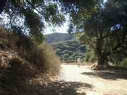 |
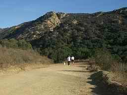
Just moments from the trailhead, the trail passes a beautiful oak woodland area. | |
 |
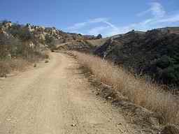
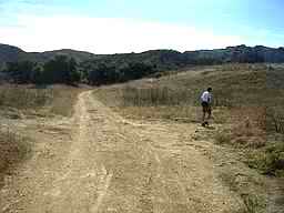
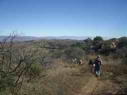
Much of this hike is on the fire/utility road known as “Albertson Motorway”. Shared by hikers, bicyclists and equestrians, Albertson Motorway runs through Lang Ranch / Woodridge Open Space and National Park Service Open Space. There are numerous connector trails, with access to Palo Comado, Cheeseboro, and Las Virgenes Canyons, and to Rancho Simi Open Space. | |
 |
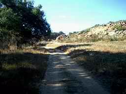
A part of Albertson Motorway is closed to the public. However, a scenic bypass trail around the closed area includes rolling grasslands, oak woodlands, riparian corridors, and many species of wildlife. | |
 |
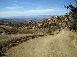
After about 2 1/2 miles and some significant elevation gain . . . | |
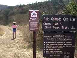 |
. . . turn onto Palo Comado Canyon Trail (another fire/utility road) intersecting from the right. | |
 |
In just a short distance, turn right again, and onto the single-track trail. | |
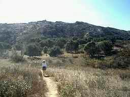 |
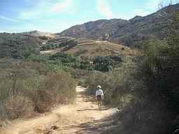
This section of trail meanders through the open space with nearby meadows and oak groves. | |
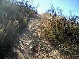 |
The final ascent to Simi Peak is fairly rocky, and a little steep in some places. | |
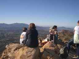 |
At the top, take some time to enjoy the incredible views, which include the nearby open space, as well as the Conejo, Simi, San Fernando, and Tierra Rejada valleys. | |
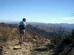 |
And, on a clear day, you can see distant mountains, the Oxnard Plain, the Pacific Ocean, and three of the Channel Islands. | |
 |
Heading back down . . . | |
 |
. . . the return path winds past some more lovely oak groves and through some lush overgrown meadows. | |
 |
Then, back to Albertson Motorway for the descent . . . | |
 |
. . . and the return to the trailhead in the Lang Ranch Neighborhood. |