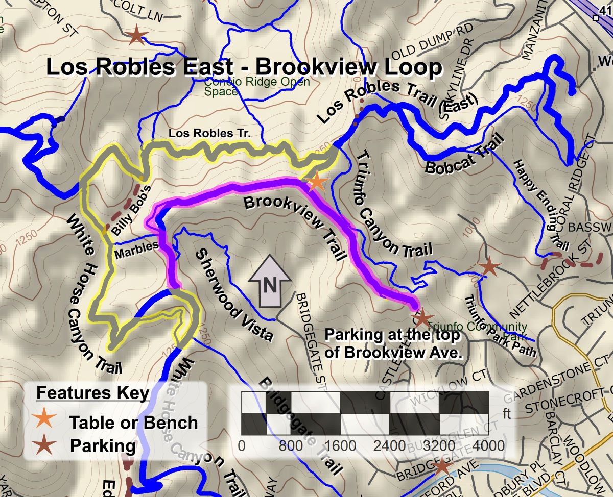
It’s New Map Monday: Brookview Loop in Los Robles East
Highlights
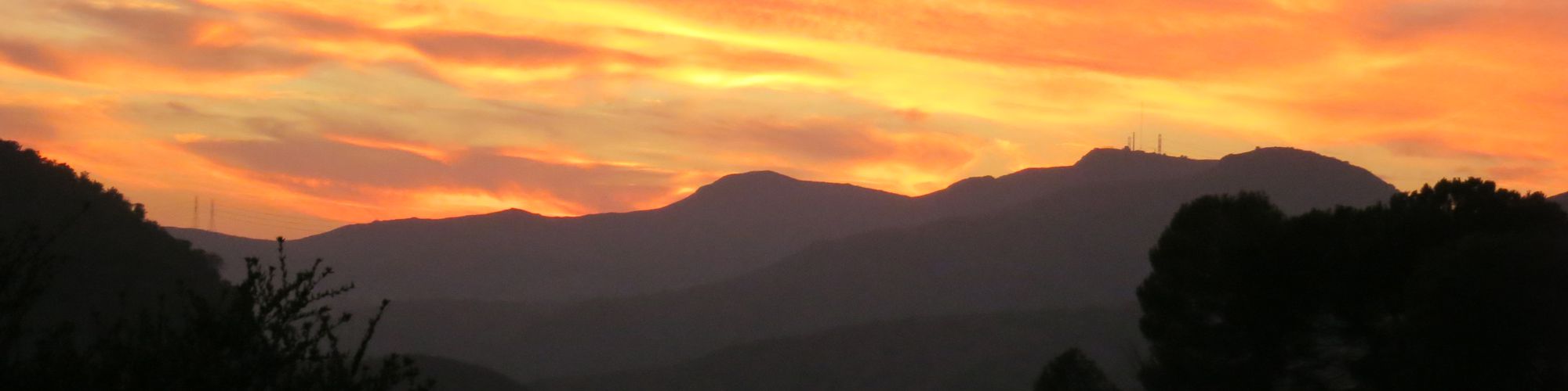
- Brookview Trail runs mostly along a ridgeline so you get great views to the south over Lake Sherwood and north over Thousand Oaks.
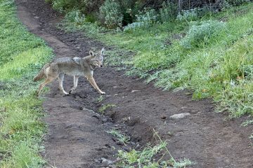
- Brookview and White Horse Canyon Trails are quite remote and rugged, so they are great for getting away from the crowds.
- Brookview Trail is a segment of the 2026 Conejo Open Space Challenge (https://cosf.org/challenge; colored pink on the map below).
Description
The Brookview Trail is quite remote and rugged and is the first leg of this moderate 4.5-mile lollipop loop. You’ll likely have the amazing views in all directions to yourself and your companions. When the trail turns south and downhill, you’ll want to make sure to take the side trail on the right (when traveling clockwise around the loop) to avoid the steep, rocky and loose section known affectionately by some mountain bikers as “The Descent of Death.” This bypass trail was built in the 2014 COSCA Annual Fall Trail Work Day by dozens of volunteers.
Key Statistics
Distance: 4.5 miles.
Cumulative Climbing and Descent: About 950′.
Parking: Free at the side of the road at the top (north-west end) of Brookview Avenue.
For all the details including an elevation profile and photos, download the printable full PDF guide.
For complete details on this trail guide and other new ones, go to https://cosf.org/trails/trail-guides/

0 Comments