It’s New Map Monday: Powerline Trail from Dos Vientos Community Park to the 101 Overlook
Highlights
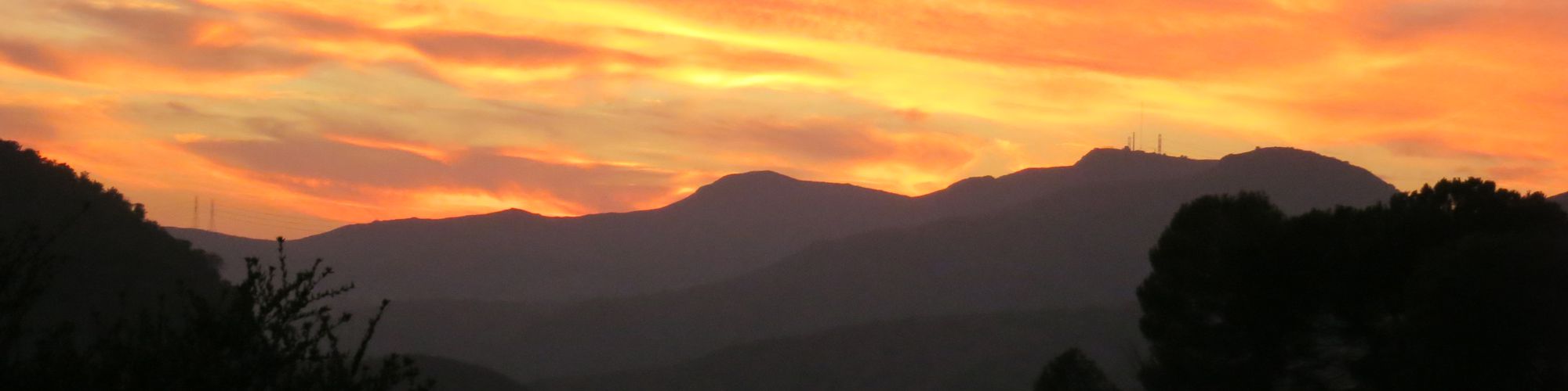
- A great example of the Conejo Valley’s volcanic landscape
- A great workout
- A great view of Dos Vientos, and the landscape north of the 101 Freeway
Description
This is an out-and-back hike or ride that starts at Dos Vientos Community Park and turns around at an overlook of the 101 Freeway, about 250’ above it. Most of the route is along an Edison Road that climbs to near the top of Conejo Mountain. If you want a shorter route you can park on Via Ricardo instead of at the park. For a much shorter route, turn around at the highest point of the trail, but then you’ll miss the extensive volcanic rock cliffs and outcroppings, and also a short valley where you can’t hear traffic from the freeway, Camarillo or Dos Vientos.
Key Statistics
Popularity: Moderately popular to the highest point 2.4 miles from the start, then you’re unlikely to see other people.
Parking: Free at Dos Vientos Community Park
Distance: 8.8 miles, out and back
Cumulative Climbing and Descent: 1850’
For all the details including an elevation profile and photos, download the printable full PDF guide.
For complete details on this trail guide and other new ones, go to https://cosf.org/trails/trail-guides/


0 Comments