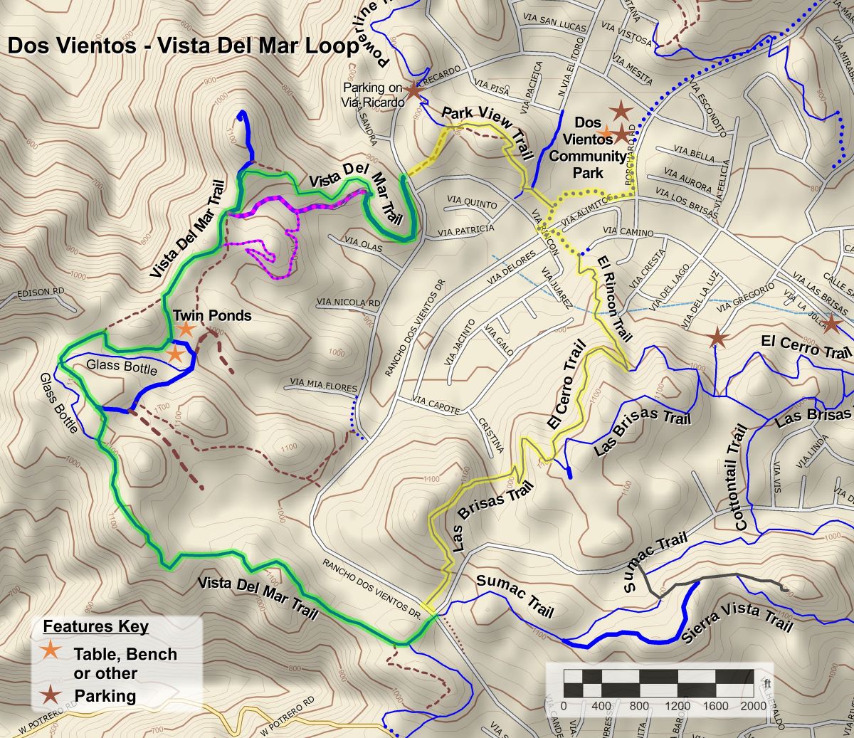
It’s New Map Monday: Vista Del Mar Loop in Dos Vientos
Highlights
- This route is 4.9 miles long with about 800′ of ascent.
- The Twin Ponds, roughly half way along Vista Del Mar Trail. If there was a substantial amount of rain the preceding winter, there will be waterfowl in the ponds.
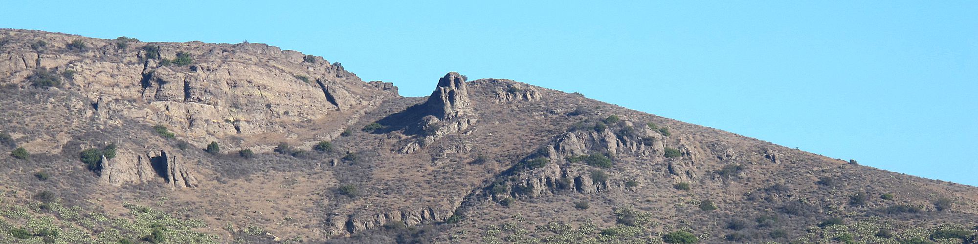
- The view is constantly changing on these hilly trails, overlooking Dos Vientos for much of the loop, but also overlooking Long Grade Canyon and Camarillo. Boney Mountain is visible in the distance to the south.
- The Vista Del Mar Trail is a segment of the 2026 Conejo Open Space Challenge (https://cosf.org/challenge; colored green on the map below).
Description
The route circumnavigates the western half of Dos Vientos, so that on one side of the trail you can see the neighborhoods but on the other is a view of the Santa Monica Mountains, Long Grade Canyon, Camarillo, Conejo Mountain, and, or course, the Twin Ponds.
This loop will give you a better workout than you might expect from only five miles because the trails are pretty hilly so there’s quite a bit of elevation gain. For mountain bikers, the El Rincon Trail is a steep climb, especially at the bottom.
If you would like to see the Twin Ponds without traveling the whole route, you can park on Via Ricardo near the northeast end of Vista Del Mar Trail and hike or ride in from there.
Key Statistics
Distance: 4.9 Miles
Cumulative Climbing and Descent: Aproximately 800′.
Parking: Free at Dos Vientos Community Park on the northwest corner of Rancho Dos Vientos Drive and Borchard Road.
For all the details including an elevation profile and photos, download the printable full PDF guide.
For complete details on this trail guide and other new ones, go to https://cosf.org/trails/trail-guides/


0 Comments