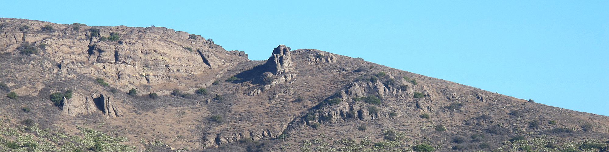
The February 26th Where in the Conejo contest photo was of the Los Robles (East) Trail
 Congratulations to Dorothy Voelker of Thousand Oaks who provided the correct answer and was selected as the winner. Thanks to all who entered the contest!
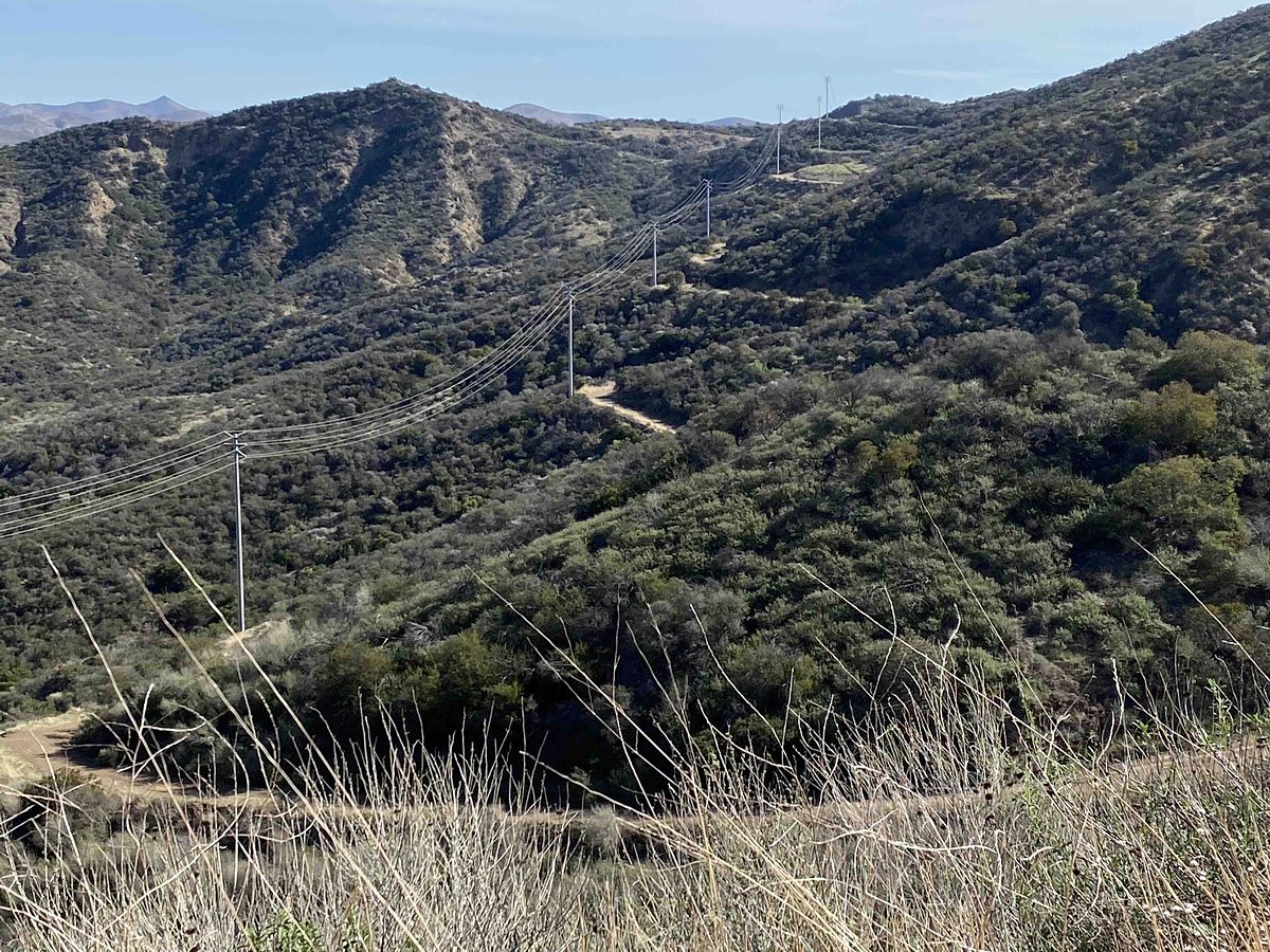
In the photo, the last Edison tower in the distance is close to the Los Robles South spur that leads up to the bench perched at the intersection of that brief uphill climb and the Brookview Trail. Although primarily a utility road in this area, it does provide outstanding views with a wide variety of flowering plants along the way.
The 25 mile long Los Robles Trail runs from Westlake Village to Newbury Park with several shorter side routes to canyons and ridgelines. It traverses eight open space areas and has some unique historical significance. It’s part of the 1,200 mile Juan Bautista de Anza National Historic Trail. Although de Anza followed the route of the 101 freeway thru the Conejo Valley, the Los Robles Trail is the official recreational route.


0 Comments