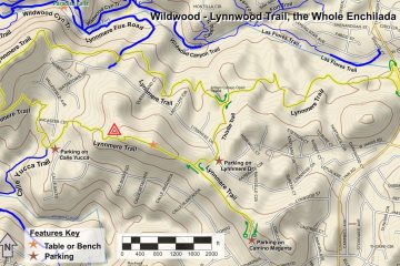
It’s New Map Monday in Dos Vientos: El Encanto Trail
Highlights
- Fairly easy 1.9 mile loop with 300′ of climbing
- If you want a harder work out, travel out-and-back for 2.4 miles and 550′ of climbing
- Other trails are nearby if you want to take a longer route
- El Encanto Trail is one of the segments of the 2024 Conejo Open Space Challenge (https://cosf.org/challenge; colored green on the map)
Description
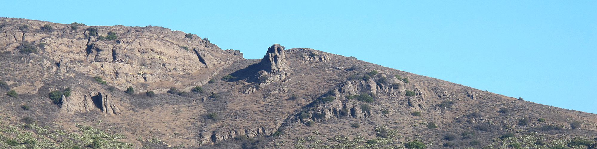
This is a very short route, starting at the east end of the trail on Kimber Drive, going up and down, ending on Via Laguna. Then head back on the neighborhood streets. There is a decomposed granite (DG) path along Via Rio that you can use.
If you’re looking for something a little longer, you can combine this with the Prickly Pear loop immediately south of Del Predo Playfields, and the El Cerro trail is a little to the east. From that trail, there are connections to the rest of the Dos Vientos trails.
Key Statistics
Distance: 1.9 miles, or 2.4 miles as an out-and-back route on the trail only
Cumulative Climbing and Descent: About 300’, or 550’ as an out-and-back route
Popularity: The Dos Vientos trails are popular, especially with people who live nearby, so you can expect to encounter others on your visit.
Parking: Free on the neighborhood streets at the two trailheads, and at Del Prado Playfields. Note that you cannot drive from the west end of Kimber Drive to the east end of Via Rio because of a gate.
For all the details including an elevation profile and photos, download the printable full PDF guide.
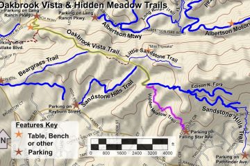
For complete details on this trail guide and other new ones, go to https://cosf.org/trails/trail-guides/


0 Comments